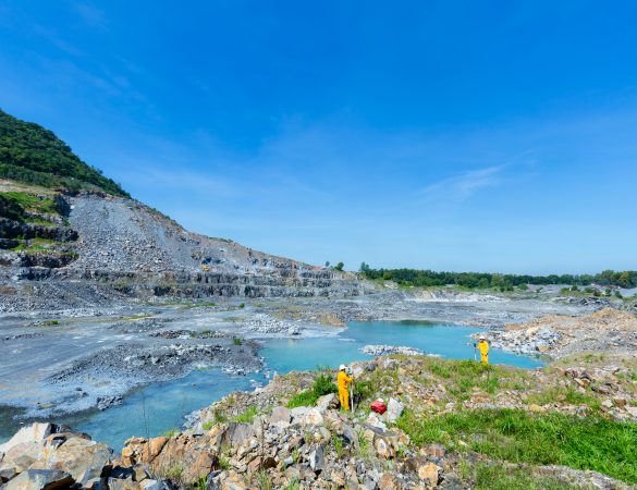
Geodetic map service.
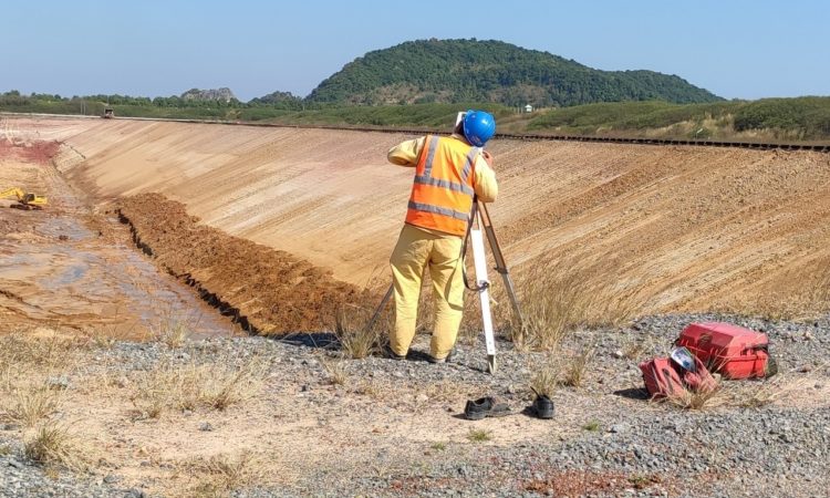
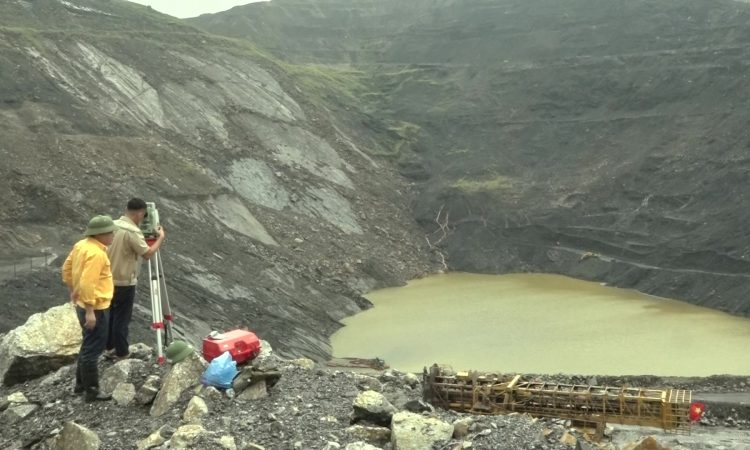
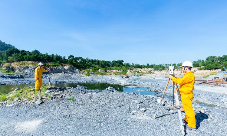
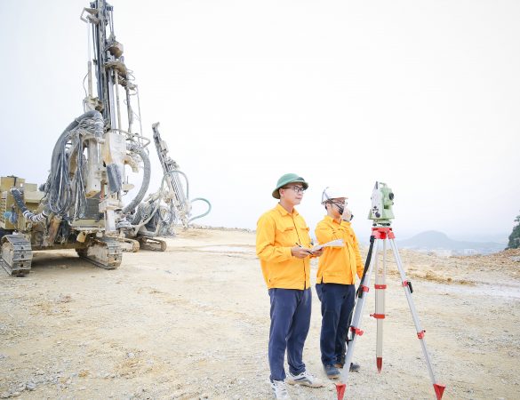
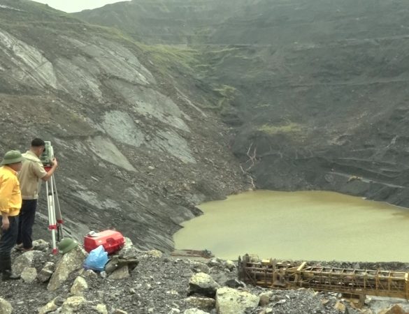
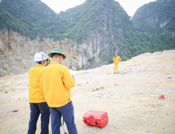
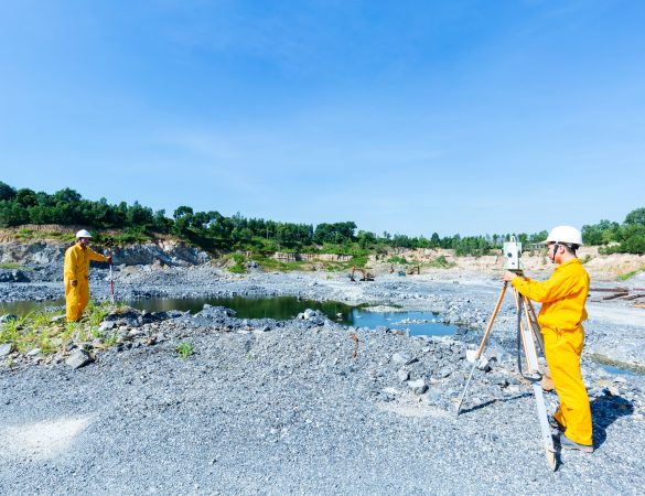
In addition to the technical fields for mining. With a team of experienced cadres and engineers, fully equipped with modern machinery and equipment, mine surveying plays a key role in helping state management agencies. and the mining unit control and reconcile the annual mining volume, which is necessary in all mining stages such as survey, mining design, construction.
In addition to the technical fields for mining. With a team of experienced cadres and engineers, fully equipped with modern machinery and equipment, mine surveying plays a key role in helping state management agencies. and the mining unit control and reconcile the annual mining volume, which is necessary in all mining stages such as survey, mining design, construction.
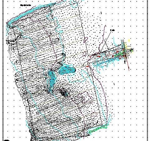
The establishment of a mine status map is necessary for optimal drilling and blasting design, safe and effective mining construction and development in the next stage, and calculation of mine reserves at mining levels. The difference will help the mine to have an effective and sustainable planning and development plan.
Besides the technologies and machines that have been used in the past such as total stations, theodolites, and leveling machines, they are still researching and applying a number of new applied technologies such as multi-resonance depth measurement. rays for underwater topographic mapping, UAV (unmanned aerial vehicle) to measure the topography of open pit mines to ensure safety, accuracy, efficiency and convenience...
Gallery Images
Other Products
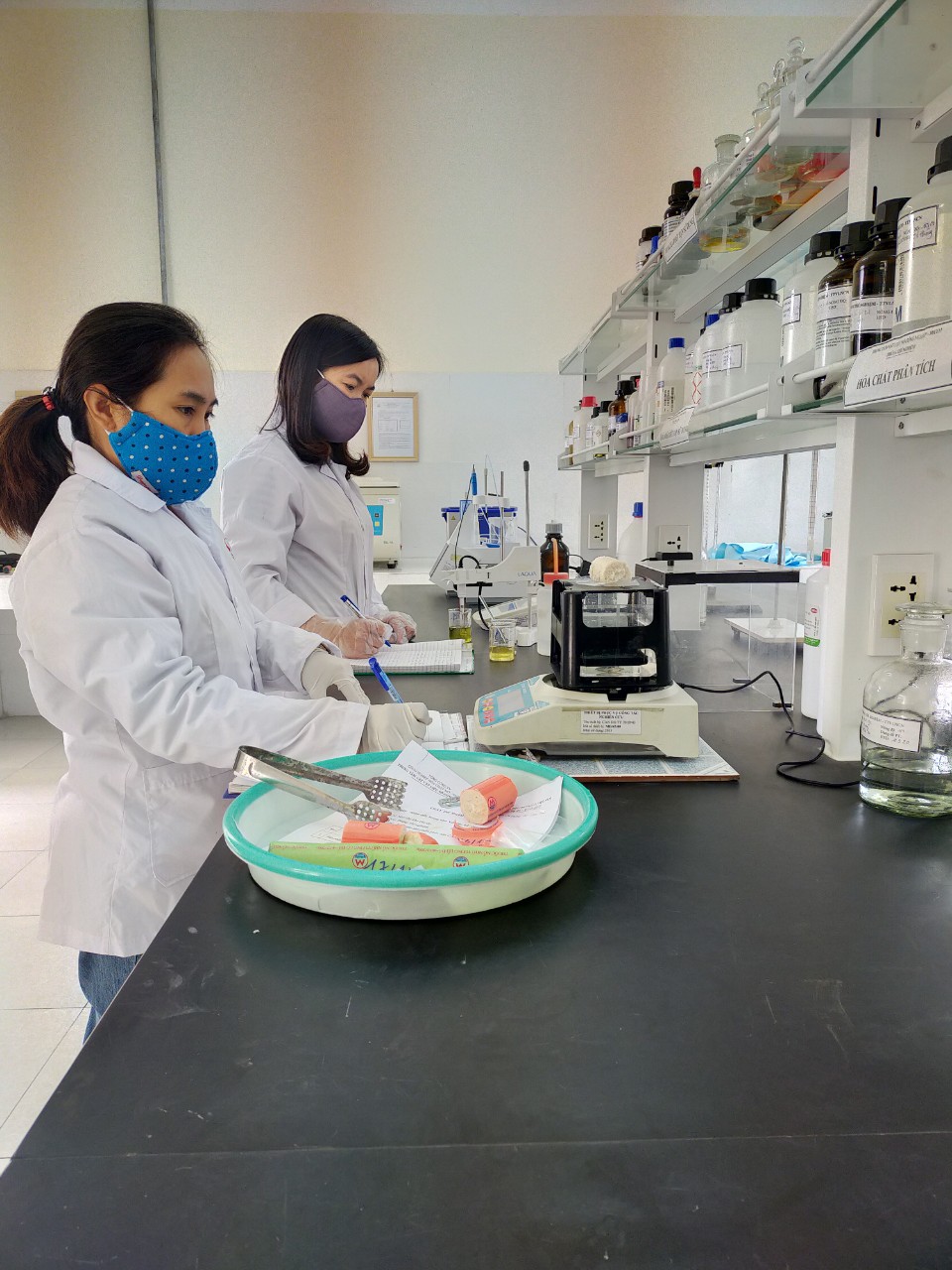
SERVICES FOR INSPECTION AND CERTIFICATE OF CONFORMITY OF INDUSTRIAL EXPLOSIVES AND EXPLOSIVES PRECURSORS.
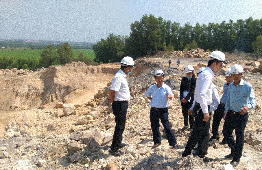
EIA Service
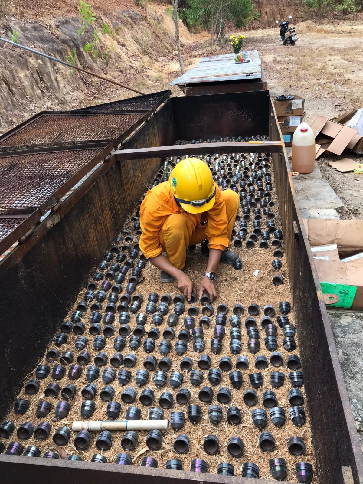
Poor-Quality Expired explosives Annihilating service.
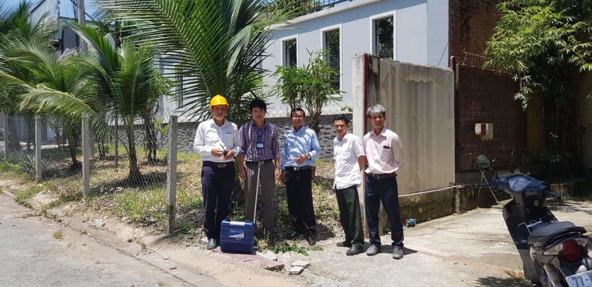
Service: Planing, measuring and reporting blasting impact monitoring.
- Hotline support (+84)24.3864.2778
- Legal consulting (+84)24.3864.2778
- Consulting on using products (+84)24.3864.2778

 ENG
ENG VNE
VNE